Датировка
4th - 5th century
Кратка информация
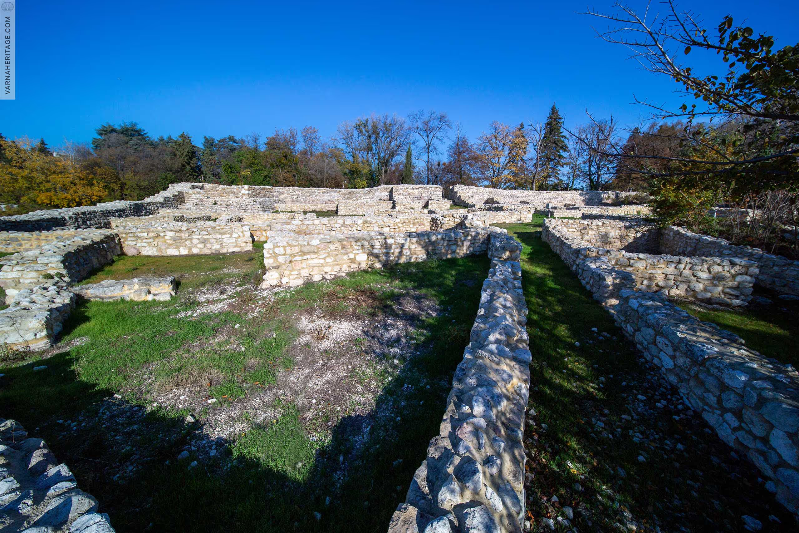
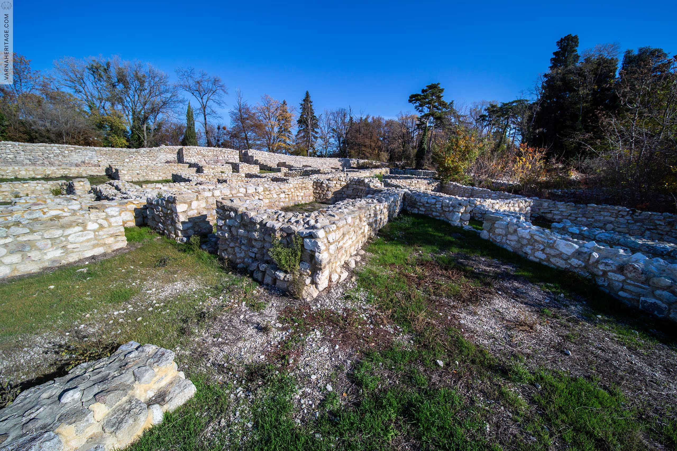
The Kastritsi fortress is located at the southeastern end of the territory of the Evskinograd Palace, on Cape St. Yani".
The fortress protected the northern end of the Varna Bay and one of the harbors, north of Odessos-Varna. It represented a settlement territory, protected by a massive fortress wall, forming a triangle with an area of about 15 decares. The earliest dating of the settlement is from the period of late antiquity (IV-V centuries), and during the Middle Ages it flourished as a city with actively developed trade and seafaring. After the 14th century, it is mentioned in dozens of maps and portulans under the name "Castritsi", "Kestritz", "Castrizi" / derived from the Greek kastro, i.e. fortress/. According to the hypothesis of the research archaeologists, this is the medieval fortress "Macropolis" from the description of the campaign of Vladislav Jagielo in 1444. In the 19th and 20th centuries, it was known among the local population as "Agia (Agios, Saint) Yani Kalesi" or "Chataltash Kalesi".
For the first time, Karel Shkorpil gave information about the fortress, after a tour in 1899. Regular survey and planned excavations on the site begin after more than 100 years, due to the specific ownership of the territory (State Public). In 2004 its research began by a team of RIM - Varna, consisting of: Valentin Pletnev, Petko Georgiev, Hristo Kuzov, Igor Lazarenko, Asya Stefanova. Gradually over time, a large part of the material structure of the immovable cultural value was revealed, and the annual archaeological excavations continue to this day.
During the modern excavations, a large part of the northern fortress wall with a length of more than 200 m was revealed. The thickness varies from 1.80 to 2 ,00 m, and in places it is built up to 3,00 m in height. On the outer (northern) side of the wall there are 5 round towers with a diameter of about 3,5 m, and at the eastern end - one rectangular (4,00 x 4.50 m). The triangular tower is later, from the Ottoman period.
The main gate, located on the northern fortress wall, is 3 m wide. It is flanked by two of the round towers, and on either side there is a thickening of the wall, suggesting the presence of a massive vault over the entrance passage, topped with a battlement, to which it probably led two-sided stone staircase. A secondary city gate was discovered between the two westernmost round towers, which was subsequently walled up.
The construction of the walls of the fortifications is filled with carved face squares and an implecton between them, joined with pink mortar. Only the walls of the donjon are built of clay mortar with leveling wooden blocks, which suggests its small height - probably about 14 m.
The street network is clearly distinguishable, and in some places pavements of stone slabs and large cobblestones have been preserved.
The urban structure, revealed so far, consists mainly of residential buildings, with the dense construction characteristic of the Middle Ages, and several inns located on a narrow square space. In 2006 a one-nave, one-apse church was discovered, measuring 14.00 by 5.60 m, with later probably monastic buildings. Several construction periods are distinguishable. The column of the altar table was discovered on the spot, and next to it, its upper plate, broken but later assembled. In the altar part, book fasteners, half a copper plate and coins from the 14th - beginning of the 15th century were found. The characteristics of the construction /quarry stone on a mud mortar/ it is believed that the church was not covered with a massive stone vault, but with a wooden roof on which lay waterproofing made of ceramic plates, of which a large amount was found on the floor. The found parts of rotted beams with relatively few are assumed to be from the roof structure.
Later, a second temple was discovered in the eastern part of the settlement structure.
Today the site is in good condition. Yearly planned excavations are underway, revealing more and more facts about its rich stratigraphy.
Местоположение
locality Evksinograd, Vinnytsia district
Културна пренадлежност
Hellenistic culture; Bulgarian culture
Проучване
1899 - 1910 - Karel Shkorpil; since 2004 - Team of the Regional Historical Museum - Varna
Техническо състояние
Good technical condition
Статут /описан в АКБ/
National significance: Order: No. RD 9Р-2 of 27.02.2013 of the Ministry of Culture
Режим на опазване /съгласно чл.35 от НАРЕДБА №7/
G
Архивни документи
Подобни обекти

19 Primorski Blvd., Archaeological Reserve "Odessos", Varna

Park-Museum of the Battle Friendship 1444 - "Vladislav Varnenchik", 55 Yanosh Hunyadi Blvd., Varna

Borders of the object - "Khan Krum" street, "Kap.I rank Dobrev" street, "Count Ignatiev" street, "Knyaz Dindukov" street, "Tsar Kaloyan" street, Odessos archaeological reserve, Varna

Between Tsar Samuil St. and Primorski Blvd.; Archaeological Reserve "Odessos", Varna

Between Chopin Street and Nezavisimost Square, bordering the Archaeological Reserve "Odessos", Varna

"Exarch Joseph" Square, Archaeological Reserve "Odessos", Varna


.avif)